Aerial & ground visual record
Strathayre
A two-flight record of the property and planting activity, presented through a finished investor film and consolidated repeat-flight package.
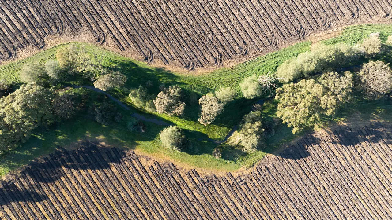
01 · Showcase video
The property film
Hosted presentation playback for immediate client viewing, with the high-resolution master retained in the controlled delivery archive.
02 · Final photography
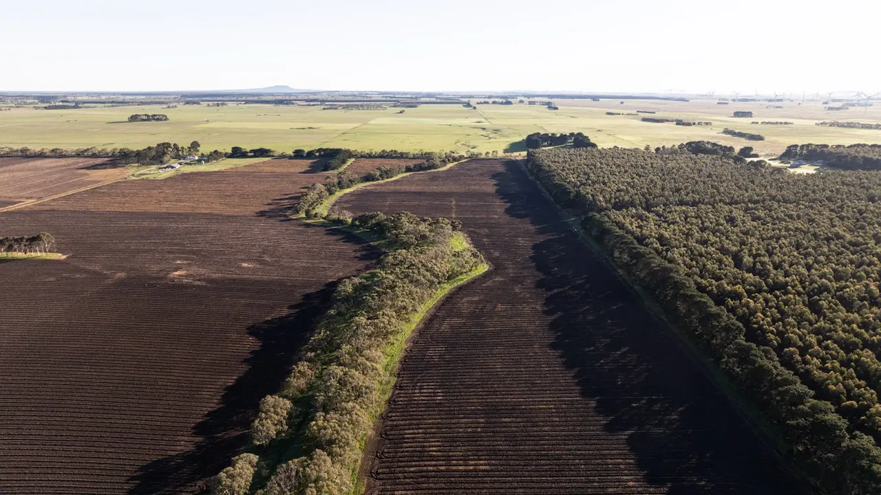
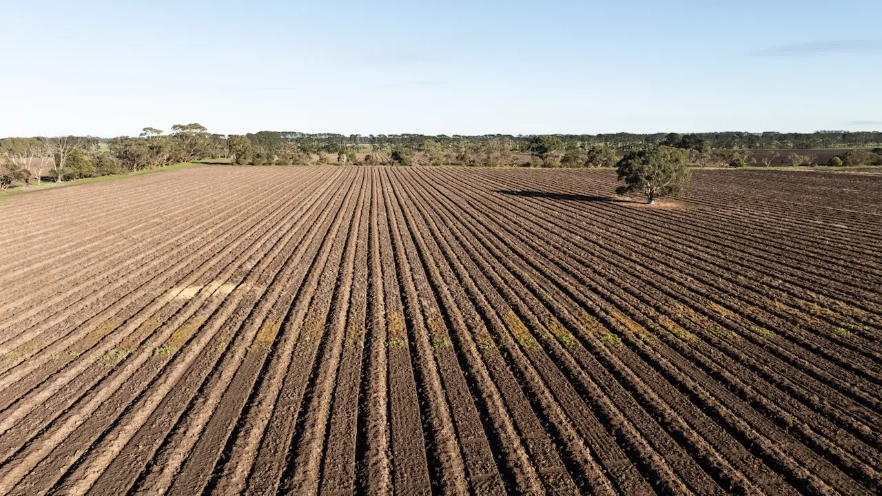
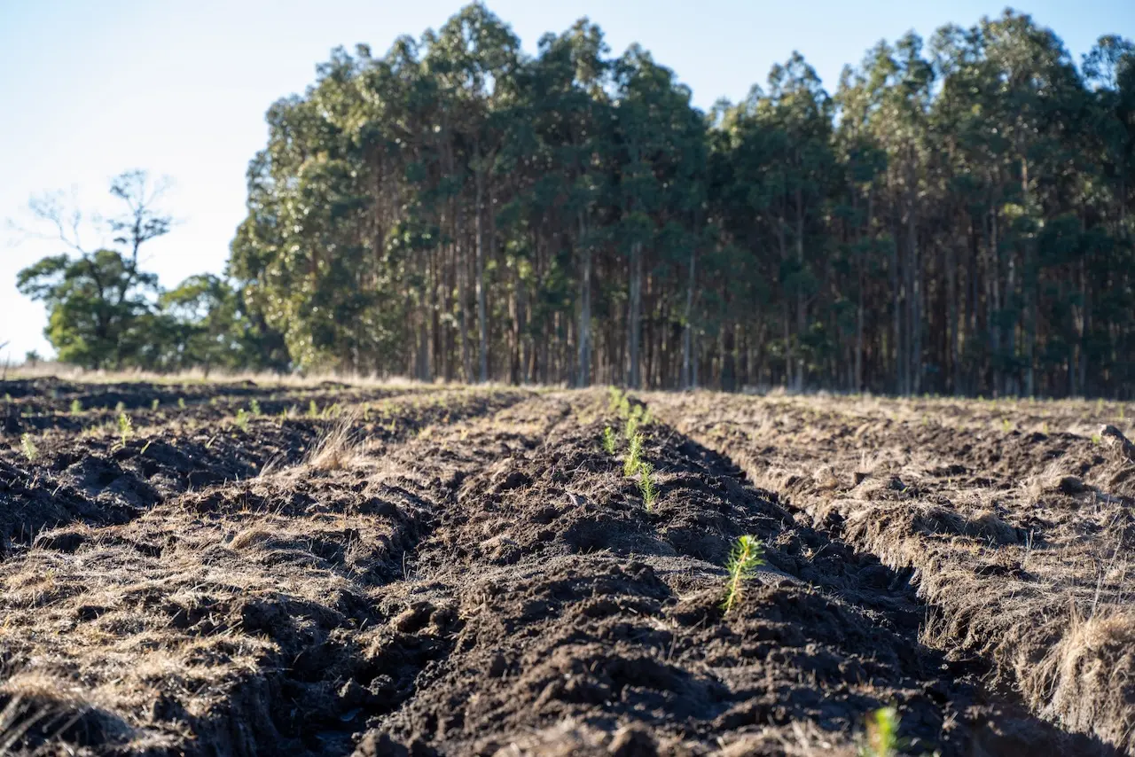
Property portfolio
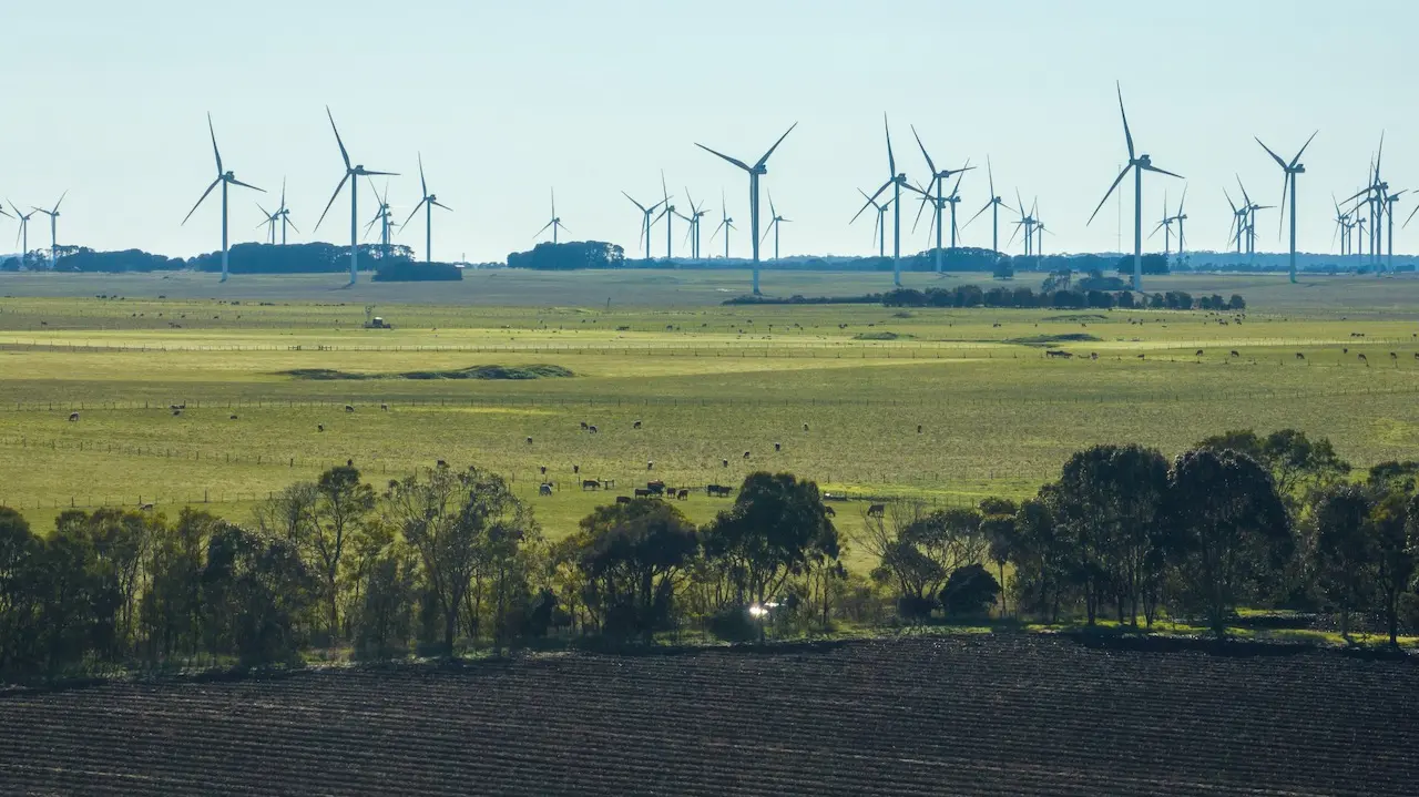
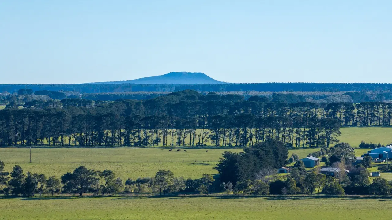
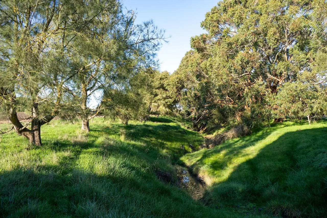
53 processed full-resolution photographs selected for reports, presentations, investor material and future property updates.
06 · Master KMZ
Boundary, flights and media in one spatial record.
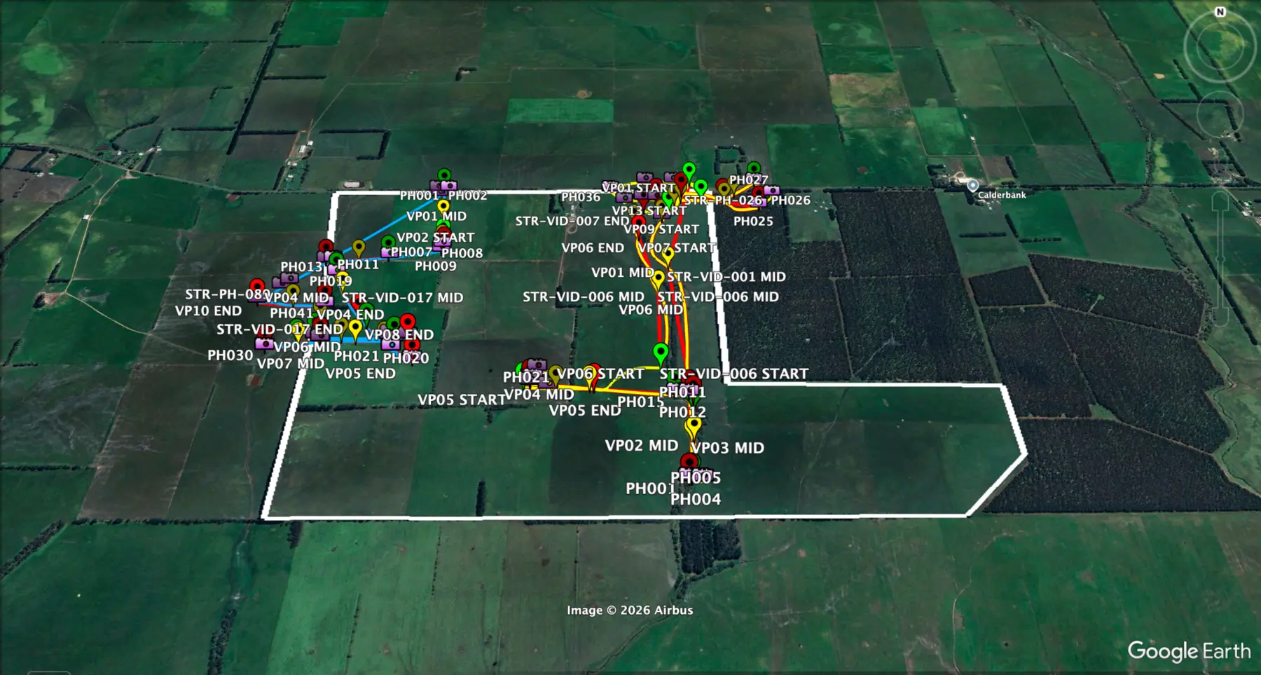
The presentation mapping record brings together the property boundary, recorded flight paths and available photo or video reference points for review in Google Earth Pro.
Repeat-flight record
Capture sequence
Flight paths, recording segments, photo points and operational files are retained in the property mapping package.
- 01STR-F01Primary aerial coverage1 August 202609:00 AEST
- 02STR-F02Final flight1 August 202609:55 AEST